I have been thinking a lot about maps lately as I am making a bunch for work. Maps are one of key products in geology, oceanography, and climate science. We map the world, (or parts of it), to see how the landscape has changed, and then we closely examine this information, and more data, to explain why a particular piece of our earth has changed.
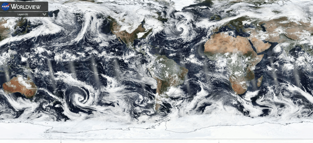
Collecting good data is critical to making good maps. A large part of our job as earth scientists involves going out to various places on the planet to make measurements, so we can use measurements to make maps. We collect data in many ways, using a rock hammer and a compass, by collecting sediment cores (my personal favorite), or remotely from satellites.
These days, I’m looking at data from tide gauges. Tide gauges are basically water level measuring devices. In the old days, they consisted of a float on a wire that moved up and down with the tides; these days they typically consist of a submerged electronic sensor that measures the pressure of the water above it. People started installing tide gauges in ports harbors in the 19th century, and the early 20th century. The original purpose of these gauges was commerce – if you wanted to ship goods from one place to another, it helped to know what was happening with the water. A number of years ago, scientists recognized that if you had a long record- say 30, 50 or even 100 years, you could study how climate impacted sea level. One of the first to recognize this was Vivien Gornitz, a NASA scientist, who helped advise me during graduate school.

There are tide gauges all over the world, but they aren’t spread evenly. The longest running ones are heavily concentrated in Northern Europe and the United States. In other parts of the world, many of the long-term records in places where Europeans colonized. One of India’s longest running gauges is located by Kolkata (Calcutta), which was central to the British colonial empire. Japan has a good number that start in the 1950s and 1960s. Africa has very few tide gauges. The closest, longest running gauge in this part of the continent is in Ceuta, a Spanish possession on the African side of the straights on Gibraltar. I’m heading there soon to take a look, since it’s one of the records I’ll use in my research.
This unevenness in the distribution of tide gauges makes you ask, what are our biases in understanding how climate change is impacting global sea level? Are there places where our knowledge of sea level rise is limited by the history of colonization and globalization? And what are we doing as scientists- who strive for unbiased datasets- about this?
In many places climate change and global sea level rise only partially explain the record of water level movements. The history of water level change is often impacted by land movements. In some places, (Louisiana being one of them), the ground is sinking. In other places (like Alaska, Scandinavia) the ground is moving upwards. We term these movements subsidence and uplift, and understanding them is another is important part of understanding how our earth is changing.
Over the 10 to 20 years, scientists have tried to measure land movements using the Global Positioning System, GPS. These GPS units are similar to the ones that you have on your phone, though generally higher quality, particularly when it comes to measuring elevation. When these units run for a period of months or years, they yield a record of the land moving. This is a great tool for scientists who want to understand how the earth moves, and people trying to reduce flood risks, risks from earthquakes, and risks from other natural disasters.
There is a group at the University of Nevada at Reno that compiled all of the publicly available GPS records from around the world, and made this available easily online. They even produced a map of where all the stations are located, and it looks a bit the map of long running tide gauges. The biggest networks long-running GPS sensors are in Europe, the United States, Japan, and a few of the other, “developed,” regions of the world. There are many fewer in Latin America, and Africa. Fortunately for my research, Morocco is one of the few places in Africa that has at least a few good sensors.

East Africa’s rift valley are the other part of the continent with a good GPS network. This raises an interesting question of scientific ethics. Let me first explain what the rift valleys are, because this area is quite interesting for geologists. The African rift system consist of a series of mountains and valley that extend roughly north-south across Tanzania, Kenya, Ethiopian, through the Red Sea, and up towards the levant. The continent is pulling apart here- a result of plate tectonics, resulting is this series of mountains and valleys. If you’re the kind of geologist who studies earthquakes, volcanoes and plate tectonics, this a great place to work. Since these dynamics are central to the way our earth evolves over millions of years, a geologist’s findings here could have far reaching implications. What’s more, this is region where humanity developed – literally. Millions of years ago, apes began to stand up in the grasslands here, resulting in a bipedal posture that freed their hands from transportation, and allowing fingers to be used for more sensitive activities like tool building. Many of humanity’s ancestors have been found here.
For many scientists, this area is a gold mine and scientists funded by American and European agencies have set up GPS networks. But this raises the question, a question of purpose and equity. If the west is to invest its scientific resources in Africa, should it only put them in places that university scientists find curious? Should our curiosity about the way the world works over millions of years, be more important than funding GPS networks that reduce flood risks in places like Morocco, Algeria, and Libya and Egypt, or in Ghana, and Senegal? How as earth scientists should we balance prioritizing discovery and safety? While the inequities in the tide gauge network can be blamed on the past- the inequities in the global GPS network are the result of more recent decisions.
Clearly there should be a balance between advancing our curiosity and protecting people. Though in an age where people more and more dominate the processes that govern our earth, it seems like we should title towards protecting people. I should say, some of the imbalances in our scientific understanding do shift towards protecting people. After my trip to Dakhla, I listened to a seminar by one of my colleagues on the trip, a Belgium scientist named Tom Artois. Tom studies flatworms- creepy slimy things that live in the sand.
Flatworms are fascinating for ecologists and evolutionary biologists. They reproduce in all sorts of weird (and sometimes kind of kinky) ways. But much of what we know about this group comes from the fact that these creatures are often human parasites. According Tom, scientist have described twice the number of parasitic flatworms as non-parasitic ones, even though in nature- there are probably more non-parasitic ones.
Finding this balance- between the curiosity-driven earth science, and earth science to help people is a person question to. What is my role here in Morocco, as a westerner who studies sea level rise? And what is my role when I return? Louisiana, which I love and call home, is full of fascinating and complex network of waterways and shifting lands. And yet, it is also rife with inequities- inequities in science education, inequities in flood risks, and inequities in the way we try to alleviate these risks. It’s a complex scientific equation, I haven’t solved it yet, but this year is giving me a clue about what the key variables are.


Leave a comment