This essay was published in the Houston Chronicle on February 5.
https://www.houstonchronicle.com/opinion/outlook/article/To-combat-climate-change-tide-gauges-are-needed-15030015.php
Alexander S. Kolker
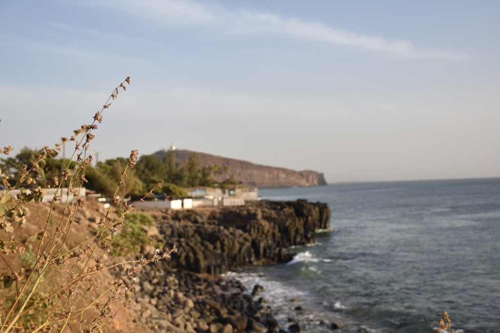
Earth scientists like me collect data in many ways: with rock hammer and compass, with sediment or ice cores, or with measurements from satellites. As a Gulf Coast scientist working abroad for the year, I have been using a tool called a tide gauge to study sea level dynamics in Morocco, North Africa and the Mediterranean.
Tide gauges measure water levels. In the old days, they consisted of a float on a wire that moved up and down with the tides; nowadays they are submerged water pressure sensors or small radar devices. People started installing tide gauges in harbors in the 19th century. Financially motivated, they knew predicting tides was, as it still is, critical to docking commercial ships. In the 1980s, scientists led by NASA’s Vivien Gornitz, recognized that accumulated tide-gauge data could help show how sea levels and land movements have changed over time.
There are tide gauges all over the world, but they are not spread evenly, and this is a problem. Many are in Northern Europe and the United States, or in places that reflect European colonization. For example, one of India’s longest-running gauges is in Kolkata, a key port in the British colonial empire. The Permanent Service for Mean Sea Level, which compiles tide gauges from governments across the world, recognizes fewer than 20 active stations on the entire African continent. Two of those, in Ceuta and Melilla, are Spanish possessions on the African side of the Straits of Gibraltar. The state of Florida alone, for comparison, has 15.
Climate change only partially explains sea level change. In many parts of the Gulf Coast, and in places like Egypt, Bangladesh and the Netherlands, sinking lands cause water levels to rise. In Alaska and Scandinavia, the ground moves upward, causing water levels to drop. Over the last two decades, scientists have measured these land movements using the Global Positioning System (GPS). After a period of years, high-quality GPS units yield a record of land movements, data which help in many domains, from surveyors designing roads to seismologists mapping earthquakes.
Recently, a group at the University of Nevada at Reno compiled all of the publicly available long-running GPS stations and made their data available online. Their map looks a little like the map of long-running tide gauges: concentrated in Europe, the United States, Japan and a few of the other “developed” regions of the world. Latin America and Africa have almost none.
East Africa’s rift valleys are one of the few African regions with a good GPS network, raising interesting ethical questions. The African rift system is a series of mountains and valleys extending roughly south-north from Tanzania through Kenya and Ethiopia, to the Red Sea. Earth’s tectonic plates pull the continent apart here. For geologists who study earthquakes, volcanoes and faults, this a great place to work. This region is where humans are thought to have evolved and where important fossils of our ancestors have been found. Many of these GPS networks were established with funding from European and American agencies, which raises questions of purpose and equity. If wealthy nations invest scientific resources in Africa, should they go to places that scientists find curious, or are the resources better spent reducing risks from floods, earthquakes and other disasters?
I struggle with the question: Is academic curiosity about the way the world works over millions of years more important than reducing flood risks in places like Morocco, Algeria, Egypt or Ghana? While the inequities in the tide gauge network can be blamed on a flawed past, the inequities in the global GPS network are the result of more recent decisions. In a world where floods and fires are more frequent, we must change how we gauge the globe. Governments, foundations and universities can do their part by focusing resources towards reducing risks to vulnerable people so communities across the planet can thrive.
This summer, I will return to Louisiana, itself a fascinating network of waterways and shifting lands, a place rife with inequalities in science education, flood risks and environmental pollution. In the past, when I always asked my students and colleagues about their data, my questions focused on math and mud. Now I will include questions about equity and purpose, as I have learned how these issues so often govern the data we collect.

Leave a comment